When the Arctic Melts
What the fate of Greenland means for the rest of the Earth.
Polo norte/ Hola desde dela demo
In the middle of the night in the middle of the summer in the middle of the Greenland ice sheet, I woke to find myself with a blinding headache. An anxious person living in anxious times, I’ve had plenty of headaches, but this one felt different, as if someone had taken a mallet to my sinuses. I’d flown up to the ice the previous afternoon, to a research station owned and operated by the National Science Foundation. The station, called Summit, sits ten thousand five hundred and thirty feet above sea level. The first person I’d met upon arriving was the resident doctor, who warned me and a few other newcomers to expect to experience altitude sickness. In most cases, he said, this would produce only passing, hangover-like symptoms; on occasion, though, it could result in brain swelling and death. Belatedly, I realized that I’d neglected to ask how to tell the difference.
❄️ Changes Observed in the Greenland Ice Sheet
- Crevasses forming at higher elevations
- Glaciers accelerating beyond normal speeds
- Surface melt events (2012, 2019, 2022, 2023)
- Rainfall at Summit in 2021 (first on record)
- Ice sheet twisting and shifting
Scientist observe dramatic climate shifts in Greenlands Ice Sheet
N.S.F. Summit Station—according to the agency’s many rules, this is how visiting journalists are required to refer to the place—was erected in the late nineteen-eighties. Initially, it was occupied only in the summer; now a small crew remains through the winter, when, at Summit’s latitude—seventy-two degrees north—the sun never clears the horizon. The station’s main structure is known as the Big House. It resembles a double-wide trailer and teeters almost thirty feet above the ice, on metal pilings. Arrayed around it are a weather station, also elevated on pilings; a couple of very chilly outhouses; several tanks of jet fuel; and an emergency shelter that’s shaped like a watermelon and called the Tomato. Some of the station’s residents used to sleep in tents, but a few years ago a polar bear showed up, so the tents have been replaced by metal sheds.
Greenland’s ice is a vast archive of Earth’s history—but we are erasing it, page by page.
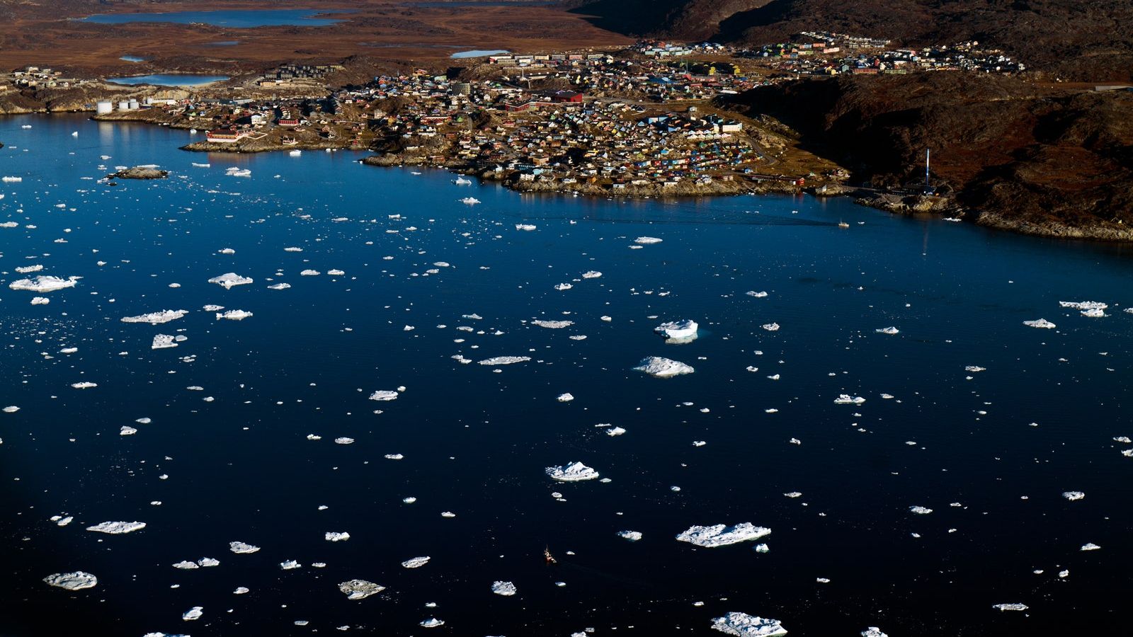
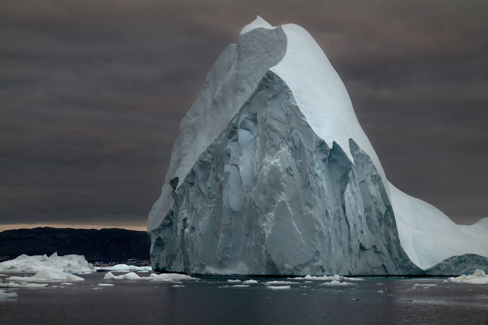
The Greenland ice sheet has the shape of a dome, with Summit resting at the very top. The ice dome is so immense that it’s hard to picture, even if you’ve flown across it. It extends over more than six hundred and fifty thousand square miles—an area roughly the size of Alaska—and in the middle it is two miles tall. It is massive enough to depress the Earth’s crust and to exert a significant gravitational pull on the oceans. If all of Greenland’s ice were cut into one-inch cubes and these were piled one on top of another, the stack would reach Alpha Centauri. If it melted—a rather more plausible scenario—global sea levels would rise by twenty feet
🌡️ Recent Global Climate Events (2023–2024)
- Record wildfires in Canada
- Record sea surface temperatures in the Caribbean
- Devastating floods in Libya (5,000+ dead)
- Heatwave in Mecca killing 1,300 pilgrims
- Hurricane Helene causing $20B+ in damages
Melting Greenland Ice Sheet: Asign of approaching tipping points
Until relatively recently, it was thought that Summit would be, if not unaffected by climate change, at least untroubled by it. Such is the ice sheet’s bulk that at its center it creates its own weather. But in the past few decades Greenland has changed in ways that have stunned scientists who spend their lives studying it. Since the nineteen-seventies, it has shed some six trillion tons of ice, and the rate of loss has been accelerating. Crevasses are appearing at higher elevations, glaciers are moving at non-glacial speeds, and large parts of the ice sheet appear to be twisting, like a writhing beast. In July, 2012, surface melt was detected at Summit for the first time since modern measurements began. In 2019, the station experienced melt in mid-June and then again in late July. On August 14, 2021, it rained, an event so remarkable that it made news around the world. (“For the First Time on Record, Rain Fell at the Summit of Greenland,” ran the headline in the Sydney Morning Herald.) There was late-season melt at Summit in September, 2022, and more melt in June, 2023.
“The ice remembers a world that humans never knew. And now, in just a few decades, we are erasing it.
The story of climate change is generally told in terms of human action, and for good reason. The almost two trillion tons of CO2 that people have pumped into the atmosphere have changed the planet in ways that every day become more apparent. Last year, average global temperatures set a new record, and by a wide margin. Canada experienced record wildfires; the Caribbean saw record ocean temperatures, which devastated its coral reefs; and Libya was hit with record rainfall, which led to a dam collapse that killed more than five thousand people. This year’s global temperatures will almost certainly surpass last year’s. Among the many climate-related disasters of 2024 so far have been a heat wave in Mecca that killed thirteen hundred pilgrims during the hajj and Hurricane Helene, which caused at least twenty billion dollars’ worth of damage. How people—or governments and corporations, run by people—respond to the mounting losses will have repercussions that will last, for all intents and purposes, forever. As no less an authority than the United Nations’ Intergovernmental Panel on Climate Change put it, upon releasing its latest scientific assessment, “The future is in our hands.”
But, like so many stories that get told, this one doesn’t tell the whole story. The future depends on how humanity reacts to global warming, and it also depends on how the Earth does. Owing to advances in everything from satellite altimetry to deep-sea drilling, a great deal has been learned in the past few decades about the planet’s history. Much of the new science suggests that the climate is, all on its own, unstable, prone to dramatic and sometimes sudden shifts.
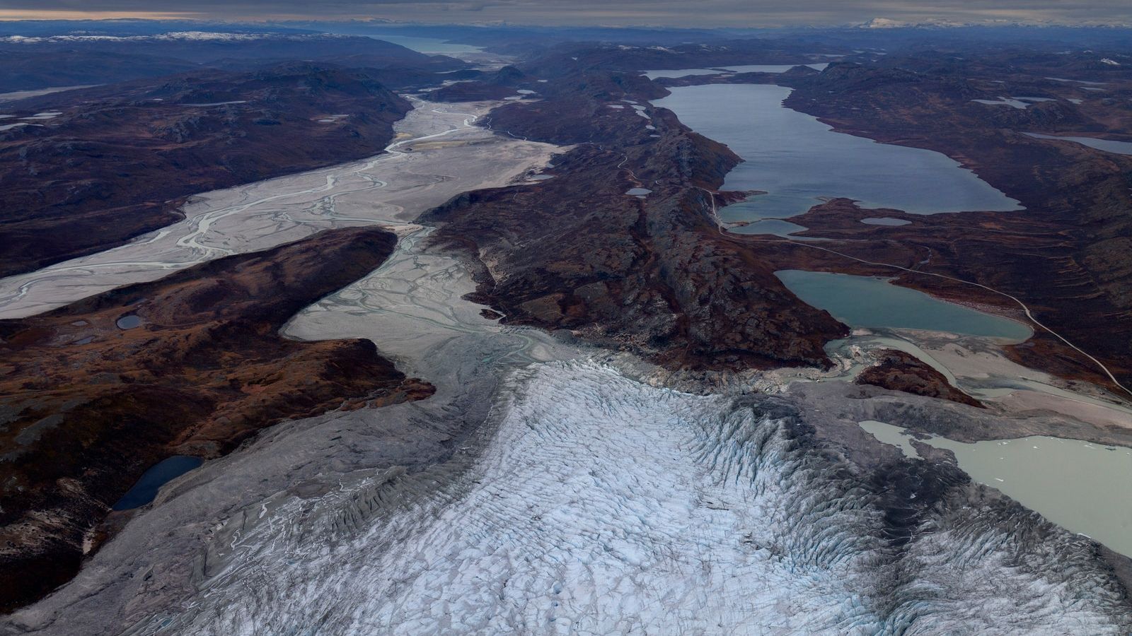
The history of Greenland is a case in point. During what’s known as the Last Glacial Maximum, some twenty thousand years ago, an ice sheet stretched more or less continuously from Greenland across Ellesmere and Baffin Islands and down over Canada and much of the northern United States. So much water was tied up in the ice that sea levels were four hundred feet lower than they are today, and it was possible to walk not just from Siberia to Alaska but also from Australia to Tasmania and from England to France. When the ice began to recede, around fifteen thousand years ago, large swaths of the world experienced catastrophic flooding. During one particularly sodden period, known as meltwater pulse 1A, sea levels rose by more than a foot a decade.
Most scientists believe that ice ages—there have been at least ten of them over the past two and half million years—are initiated and terminated by periodic shifts in the Earth’s orbit, caused by, among other factors, the tug of Jupiter and Saturn. But orbital shifts produce only slight changes in the amount of sunlight that reaches different parts of the globe at different times of the year. Such slight variations are insufficient to explain the growth and subsequent retreat of massive ice sheets. Rather, it seems, the orbital shifts act like a trigger, setting off other processes—feedbacks—that greatly amplify their effect. One relatively straightforward feedback features albedo, from the Latin word for “whiteness.” Ice and especially snow have a high albedo. They reflect lots of sunlight back to space. Thus, as an ice sheet grows, the planet absorbs less energy. This has a cooling effect, which encourages the buildup of more snow and ice, which results in more reflectivity, and so on. Start to melt an ice sheet and the same cycle spins in reverse.
Today, feedbacks are, to put it mildly, a growing concern. A report published last year by more than two hundred researchers from around the world noted that many of the systems that determine the climate exhibit nonlinear behavior. Such systems may “shift to a very different state, often abruptly or irreversibly, as a result of self-sustaining feedbacks.” The researchers identified two dozen potential “tipping systems,” among them the Greenland ice sheet.
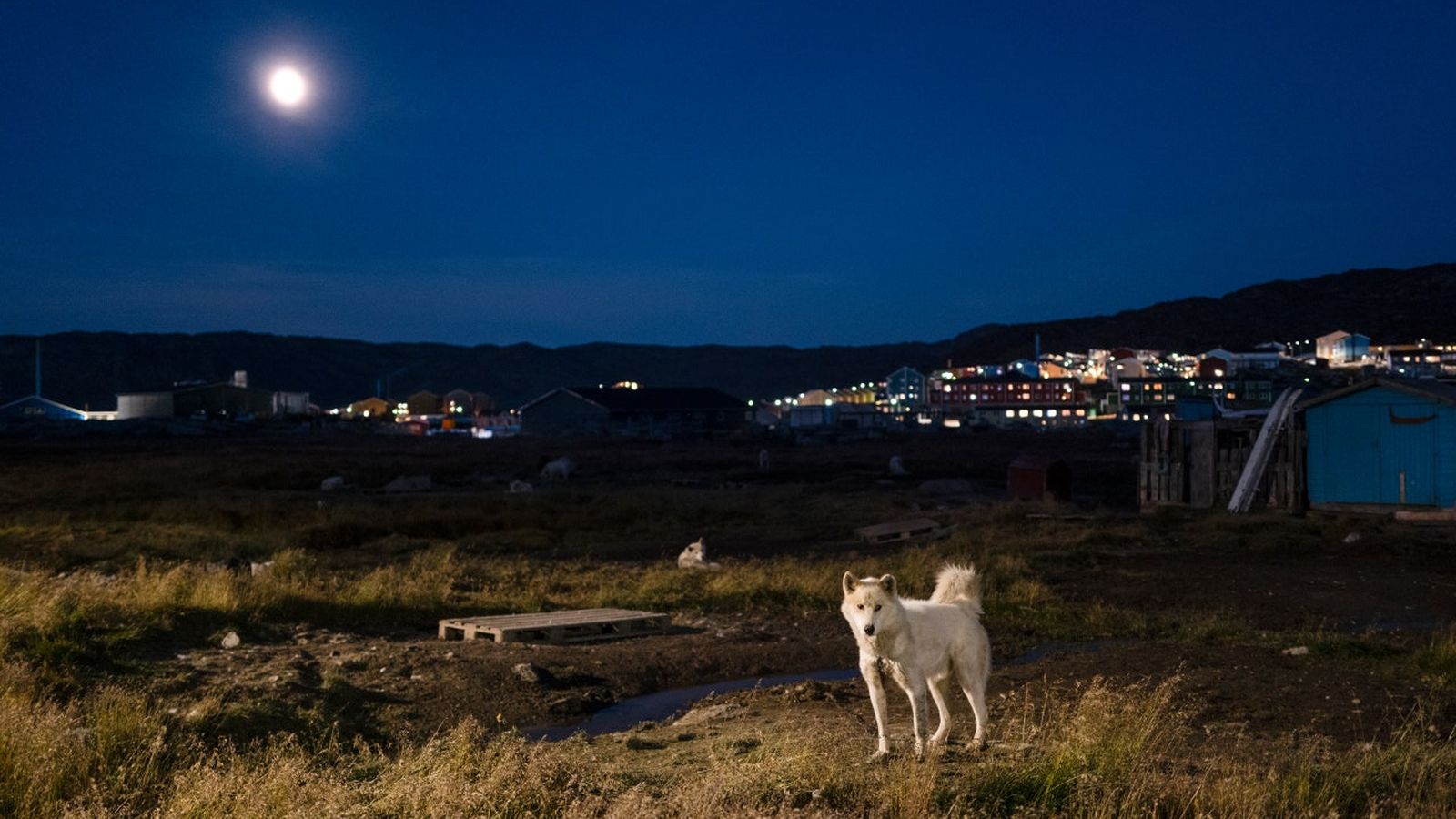
At a certain point, the report warned, feedbacks could become so powerful that, even if CO2 emissions were cut dramatically and temperatures stabilized, the ice sheet would continue to shrink, possibly until it collapsed. The “best estimate” of when this critical threshold will be reached is when average global temperatures rise 1.5 degrees Celsius—roughly three degrees Fahrenheit—above preindustrial levels. Even after that line is crossed, it will take many centuries for the changes set in motion to play out. Still, as a practical matter, there will be no going back. When it comes to tipping systems, the future is in our hands until it isn’t.
Days at Summit begin with a staff meeting held in a heated tent that’s outfitted with a treadmill, weights, and yoga mats. In front of the treadmill, people have taped scenes from more temperate climes—ones with trees and flowers. On my first morning at the station—I still had a headache, but no fatal brain swelling—the station’s supervisor opened the session with a request for volunteers to lug a pair of propane tanks up the stairs to the Big House. Summit’s cook announced that the latest shipment of food was short on lettuce. Someone pointed out that there were problems with the flags on the station’s runway, which is made entirely of snow. A fourth person promised to clean the outhouses. After the meeting, I got to launch the daily weather balloon, which was about three feet tall and dangled a cartridge of electronic instruments. The balloon, filled with helium, flew out of my hands. I tried to follow it as it sailed over the ice, but I soon lost sight of it.
The view from Summit in all directions is pretty much the same: white. The Norwegian explorer Fridtjof Nansen, who, in the eighteen-eighties, led the first team to cross Greenland on skis, recalled the ice sheet’s monotony—an “interminable flat desert of snow.” There was, he complained, “no break or change in our horizon, no object to rest the eye upon, and no point by which to direct the course.” Especially when it’s cloudy, the ice, free of shadows, appears as one enormous blank page.
In fact, the ice sheet is packed with information, like a giant encyclopedia. Among the first to recognize this was Ernst Sorge, a German glaciologist. “I’m looking at a landscape whose vast simplicity is nowhere to be surpassed on earth, and which yet conceals a thousand secrets,” he wrote.
Sorge was part of a famous—infamous, really—expedition that set off from Copenhagen in the spring of 1930. The expedition’s leader was another German scientist, Alfred Wegener, who’s best known for having come up with the theory of continental drift. One of Wegener’s goals was to establish a camp at a site dubbed Eismitte, or “ice middle,” about a hundred miles south of where Summit now sits. Sorge and a colleague were supposed to overwinter at the site and take meteorological measurements. Owing to a series of unfortunate events, a third man, who was suffering from frostbite, ended up stuck at the camp as well and had to have his toes amputated with a penknife. Meanwhile, Wegener died as he was trying to fight his way back to the coast, eating his sled dogs along the way. His body is still buried somewhere in the ice.
From the surface, the camp at Eismitte looked like a snow fort with a round turret. Beneath the surface were chambers—a living room, an instrument room, and a storeroom—that had been dug out of the snow. Fascinated by the subglacial world, Sorge kept on digging until, at the far end of the camp, he had sunk a shaft more than fifty feet deep. Studying the walls of the shaft by lamplight, he discovered that he could tell the difference between snow that had fallen on Eismitte in the summer and snow that had fallen in the winter. By counting backward through the seasonal layers, he calculated that his shaft extended through twenty-one years’ worth of accumulation.
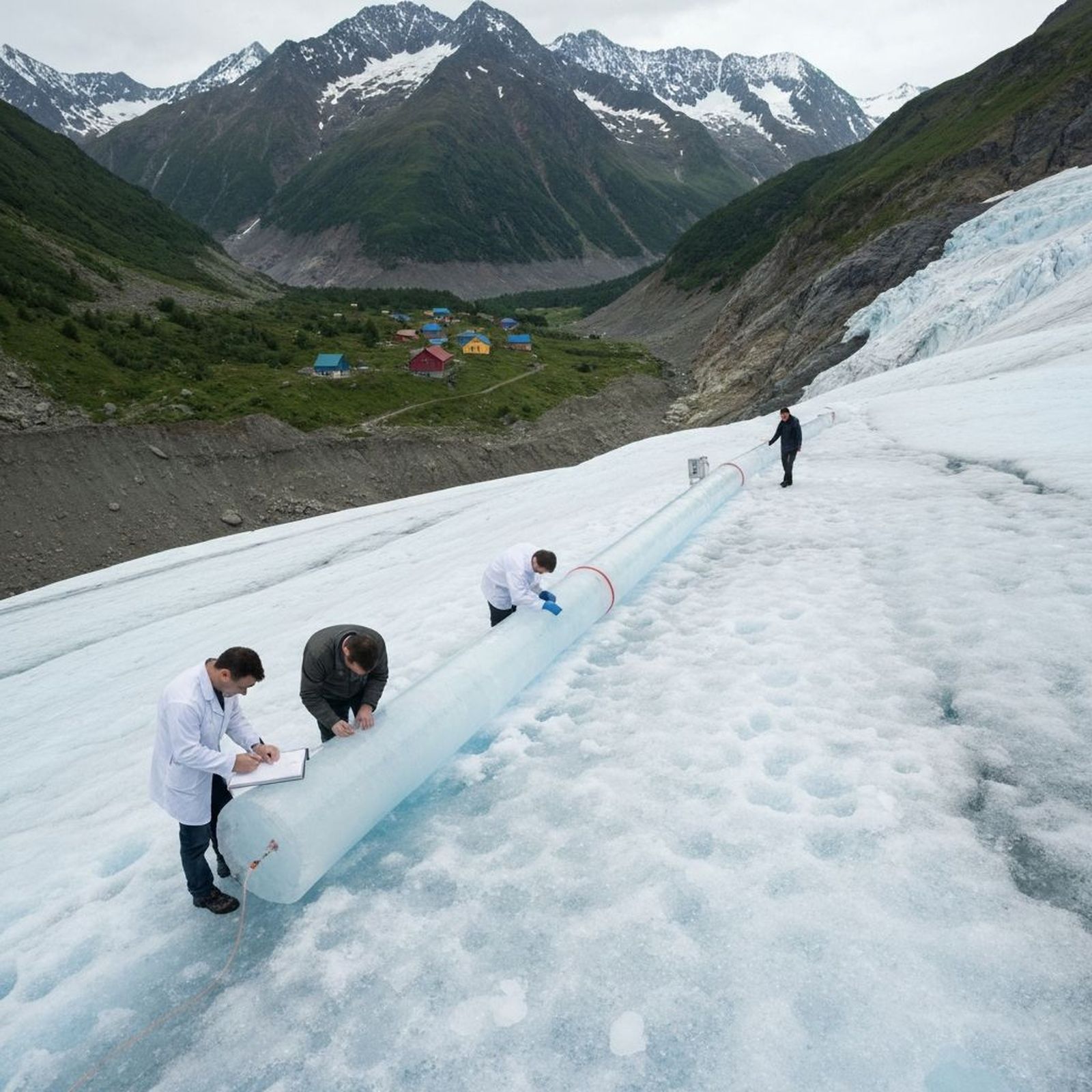
In the decades that followed, researchers delved deeper and deeper, using increasingly sophisticated drills. The farther the drills descended, the denser the layers of old snow became, until they were compressed into ice. But even in the icy depths the difference between summer and winter precipitation could be discerned. This made it possible to date each layer back through the centuries.
Meanwhile, scientists found that they could tease out a wealth of data from every annual increment. By analyzing the ice with a mass spectrometer, they could calculate what the average temperature on Greenland had been in any given year. And by extracting the gases contained in tiny bubbles of trapped air they could reconstruct changes in the atmosphere.
In the nineteen-nineties, a team of American researchers working at Summit succeeded in drilling all the way from the top of the ice sheet to the bedrock. In the process, they pulled up thousands of long, skinny cylinders of ice—two miles’ worth. In ice from fifteen hundred and two feet down, there was snow that fell when Nero was emperor; at twenty-three hundred and fifty feet, snow from the reign of Tutankhamun. At the very bottom was snow that fell before the start of the last glaciation.
Analysis of the core showed, in extraordinary detail, how temperatures in central Greenland had varied during the last ice age, which in the U.S. is called the Wisconsin. As would be expected, there was a steep drop in temperatures at the start of the Wisconsin, around a hundred thousand years ago, and a steep rise toward the end of it. But the analysis also revealed something disconcerting. In addition to the long-term oscillations, the ice recorded dozens of shorter, wilder swings. During the Wisconsin, Greenland was often unimaginably cold, with temperatures nearly thirty degrees lower than they are now. Then temperatures would shoot up, in some instances by as much as twenty degrees in a couple of decades, only to drop again, somewhat more gradually. Finally, about twelve thousand years ago, the roller coaster came to a halt. Temperatures settled down, and a time of relative climate tranquillity began. This is the period that includes all of recorded history, a coincidence that, presumably, is no coincidence.
Richard Alley, a glaciologist at Penn State and the author of a book about the ice-coring project, summed up the findings as follows: “For most of the last 100,000 years, a crazily jumping climate has been the rule, not the exception.”
To work at Summit, scientists have to apply to the N.S.F., an independent agency of the U.S. government. The same goes for journalists. My trip to the station was arranged by the agency’s Polar Media Program, which sent an “escort”—a Washington, D.C.-based press officer—to accompany me. So intent was my escort on not letting me out of her sight that it became something of a station joke. At one point, when we briefly became separated, I asked someone in the Big House to let her know that I had gone to another building.
“Don’t worry,” he replied. “I’ll tell her you wandered off into the snow.”
At the time of my stay, in mid-July, roughly half of the station’s forty-odd residents were contract employees who were there to keep the place running, an immense logistical challenge. Summit’s (more or less) constant below-freezing temperatures make basic operations like supplying drinking water both complicated and energy-intensive: the water has to be melted from snow, the pipes that circulate it have to be heated, and the fuel that provides the energy has to be flown in. (Thanks to a long-standing arrangement, supplies and also people are transported to Summit by the New York Air National Guard’s 109th Airlift Wing, which operates a fleet of ski-equipped cargo planes out of an old U.S. Air Force base on Greenland’s west coast.) Several people I met at Summit had spent the previous winter working on Antarctica, either at McMurdo or South Pole Station, and were planning to return there for the next austral summer. They said that the challenge of the work was part of its draw, as was the space-station-like camaraderie.
Another largish contingent was installing a network of radio antennas. These, it was hoped, could be used to detect ultra-high-energy neutrinos. Potential sources of such neutrinos, I learned, include gamma-ray bursts, pulsars, and clusters of galaxies known as flat-spectrum radio quasars.
“We cannot detect the neutrinos directly,” Felix Schlüter, a German astrophysicist, explained to me one day, when I sat down with him in the Big House. “We can only detect them when they’re interacting with the ice and producing other particles.” The following afternoon, I (and my escort) set out with Schlüter on snowmobiles to visit some antennas that had recently been installed about three miles from the station. During the ride, I pulled my neck gaiter over my mouth, which turned out to be a mistake: the moisture from my breath caused it to freeze to my face. When we got to the spot, it was maybe ten degrees Fahrenheit, and a brisk wind was blowing. There was some scaffolding and green flags, but most of the critical equipment had been buried hundreds of feet down. We were deep enough into Nansen’s interminable desert that the Big House, the Tomato, and the outhouses had all sunk out of view.
Every summer, the N.S.F. flies a group of high-school students up to Summit as part of a program whose stated goal is to “inspire the next generation” of polar researchers. Zoe Courville, a snow scientist with the Cold Regions Research and Engineering Laboratory, in New Hampshire, was at the station to prepare for the annual visit. One morning, I watched her and an energetic young technician named Caleigh Warner dig a snow pit behind the Big House. The idea was to use it, à la Sorge, to show the kids the difference between summer and winter snow. When Courville and Warner were done, the pit was about seven feet deep and accessible only by a set of snow stairs. I clambered down.
For the first few layers, the seasonal differences were clear even to a novice like me. Summer snow is coarse and grainy; winter snow, smooth and dense. Courville ran a bare finger down one wall of the pit. A couple of feet below the surface, she paused. “That’s probably last summer’s melt,” she said. “When you look at the grains, they’re rounded and fused together.” I ran a gloved finger along the same spot. The melt layer was thin and brittle. I broke off a piece that resembled a shard of glass.
“When I first started coming up here, twenty years ago, we had models that were predicting what the climate would be like in Greenland,” Courville said. “And we’re starting to be outside of even the most dire predictions in terms of temperature increase.”
“I try to be optimistic about things,” Courville told me at another point. “I don’t know that it’s all doom and gloom. But from what I’ve experienced here in Greenland, at the center of the ice sheet, we’re approaching the point of no return.”
When the students finally arrived—they were a day late, owing to various problems with the ski-equipped planes—they were buzzing with excitement. They took turns descending into the pit in heavy boots and parkas that they had borrowed for the trip. A visiting scientist from the University of California, Irvine, brought out some cylinders of ancient ice to show them. The kids were invited to smash the cylinders with a mallet, an activity they took to with gusto. Ziplock bags were passed around so that everyone could take a chunk as a keepsake. The gesture struck me as curious, since the ice was destined to melt as soon as the students took off again for the coast. But maybe, I thought, that was the point.
Today, the spot where the Summit core was drilled is preserved almost like a shrine. The metal casing that the drillers left behind still sticks up out of the snow, even though the borehole beneath it has collapsed. The casing is wrapped in a custom-made jacket, and attached to it is a red flag that shudders in the near-constant wind.
The Summit core—officially the Greenland Ice Sheet Project Two, or gisp2, core—filled in a key chapter in climate history and, at the same time, opened up a huge gap. Apparently, there was some great force missing from the textbooks—one that was capable of yanking temperatures around like a yo-yo. By now, evidence of the crazy swings seen in the Greenland ice has shown up in many other parts of the world—in a lake bed in the Balkans, for example, and in a cave in southern New Mexico. (In more temperate regions, the magnitude of the swings was lower.)
Scientists are still struggling to make sense of the data. The best theory is that the wild swings were set off by some daisy chain of feedbacks involving the ice, the air, and—most important—the oceans.
The great wheelworks of the climate, the oceans transport fantastic amounts of energy—a quadrillion watts’ worth—from the sun-drenched tropics toward the sun-starved poles. One particularly important loop in this system is the Atlantic Meridional Overturning Circulation, or amoc (pronounced “ay-mock”). The loop might be said to begin in the North Atlantic, where the surface waters are especially cold and salty. The combination of low temperature and high salinity makes the water unusually dense, so it sinks. Warmer water from the south rushes in behind it; as this water cools, it sinks, drawing still more water north, and so on. Oceanographers measure currents in units called sverdrups. One sverdrup equals a million cubic metres per second. When the amocis operating at full strength, the water circulates to the tune of twenty sverdrups, a hundred times the flow of the Amazon River.
